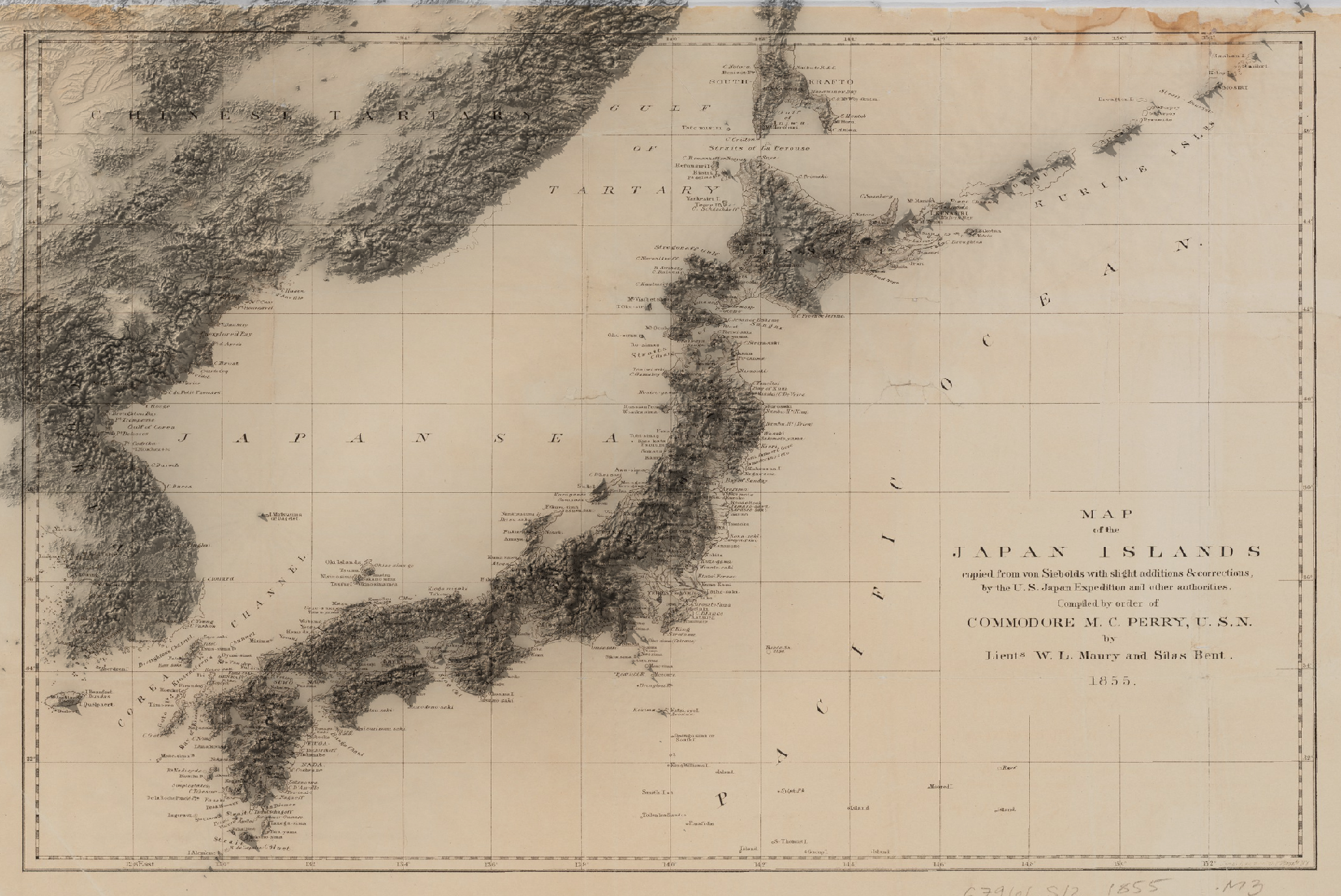
Historical elevation renders
Series of maps rendered in 2020 using a combination of QGIS to georeference, elevation data and historical maps sourced online, and Rayrender in R to render the elevation data.
This series of work features several renders of historical maps with overlaying elevation data. The first map features the elevation of the Japanese Islannds rendered over a map compiled for Commodore Perry in 1855 just after his return from his final visit to Japan when he started to publish reporting on the expeditions.
The second render is Finley's map from 1827 depicting the known Egyptian settlements after the expulsion of the Napoleonic forces by the Turks. One can see the errors in measurement of this map. While the projection matches the data, Finley miscalculated the Sinai peninsula. Along the Nile, the measurements rather accurately follow the terrain of Egypt today.
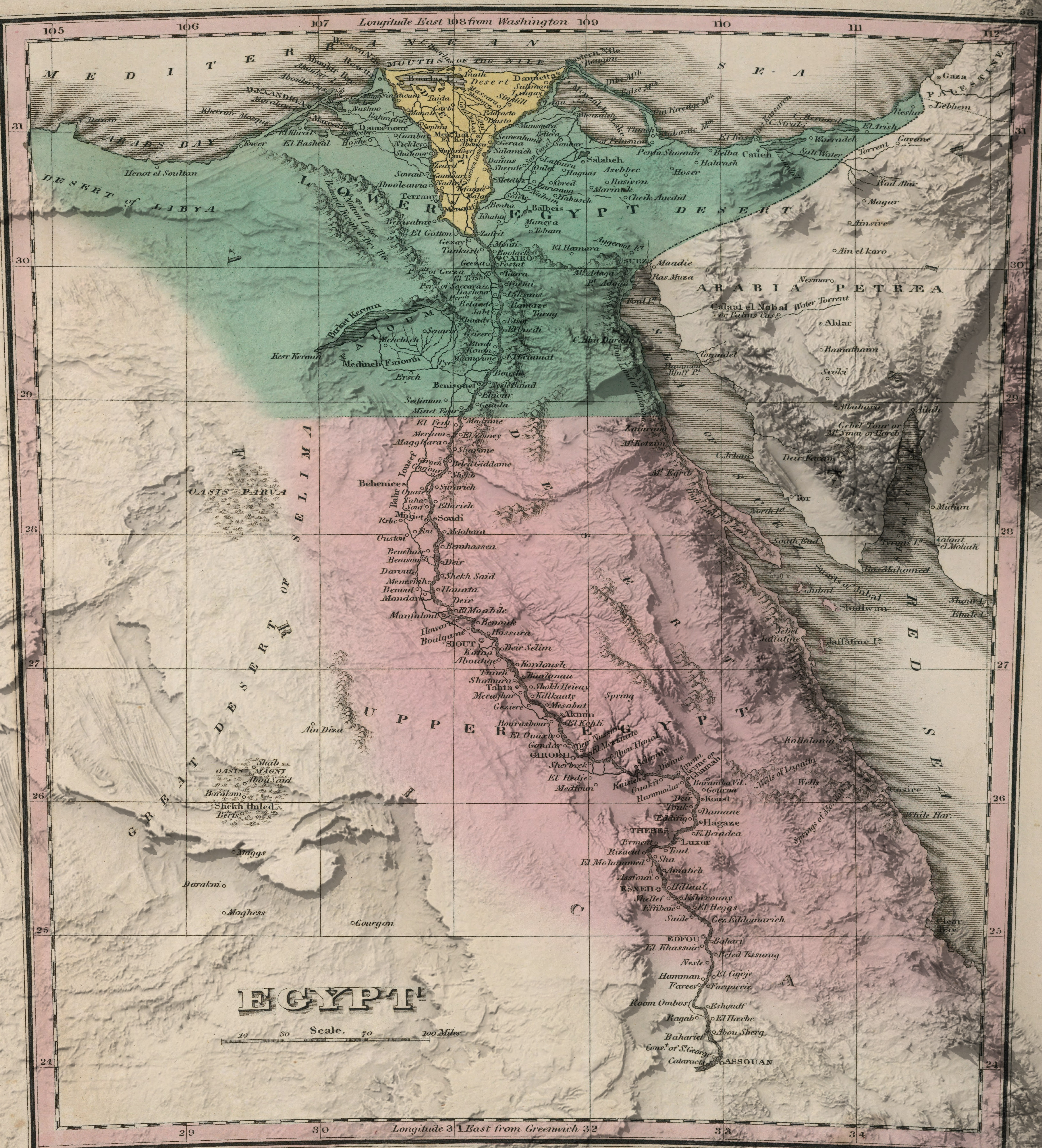
This map notably depicts the Kharga Oasis, northwest of Upper Egypt, a town and Temple that exists to this day.